Member-only story
Create a water mask from Sentinel-2 satellite imagery using the Scene Classification Layer (SCL)
4 min readMay 22, 2023
Create water mask using Scene Classification Layer (Sentinel 2)
Previous related article: Understanding Sentinel-2 L2A Scene Classification Map with Python Codes
To create a water mask from Sentinel-2 satellite imagery using the Scene Classification Layer (SCL), you can follow these steps:
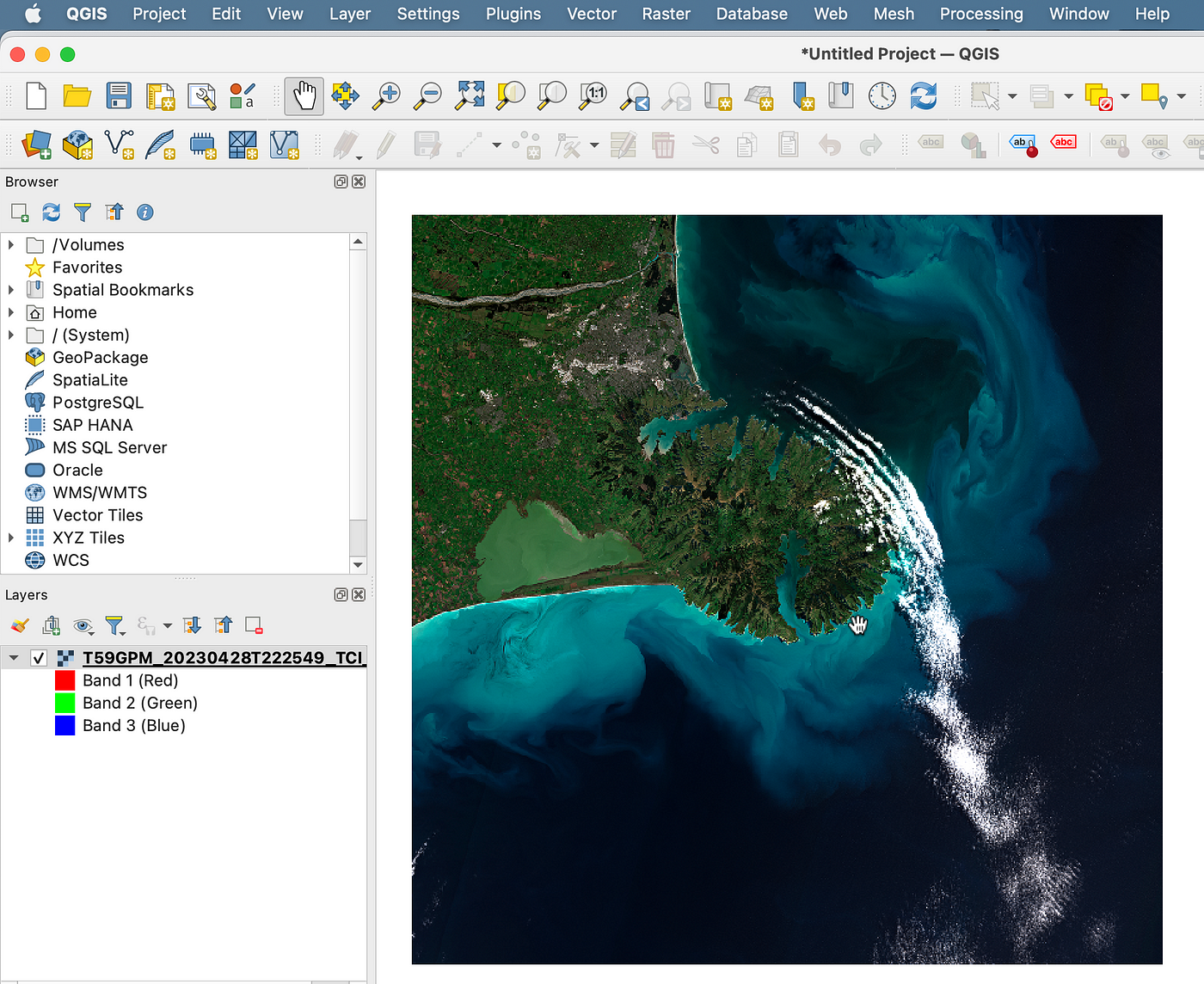
- Obtain Sentinel-2 imagery: Download the Sentinel-2 satellite imagery for your area of interest from a reliable source such as the Copernicus Open Access Hub (https://scihub.copernicus.eu/).
- Extract the Scene Classification Layer (SCL) 20m resolution: The SCL provides information about land cover and scene classification. It contains various classes, including water. Extract the SCL band from the preprocessed imagery.
- Interpret the SCL values: The SCL band assigns integer values to different land cover classes. The specific value for water may vary depending on the dataset version and processing level. Typically, a value of 6 indicates…